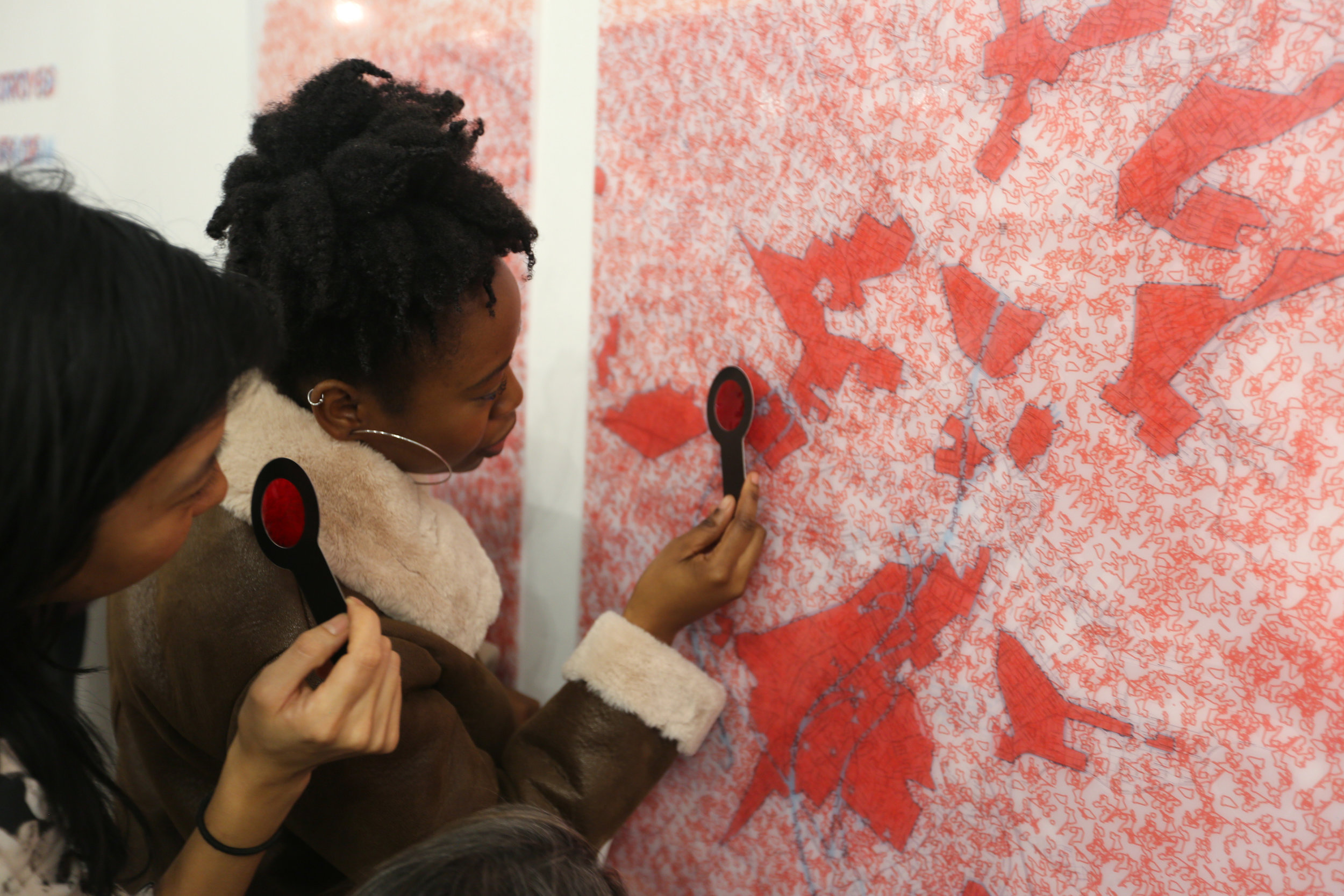

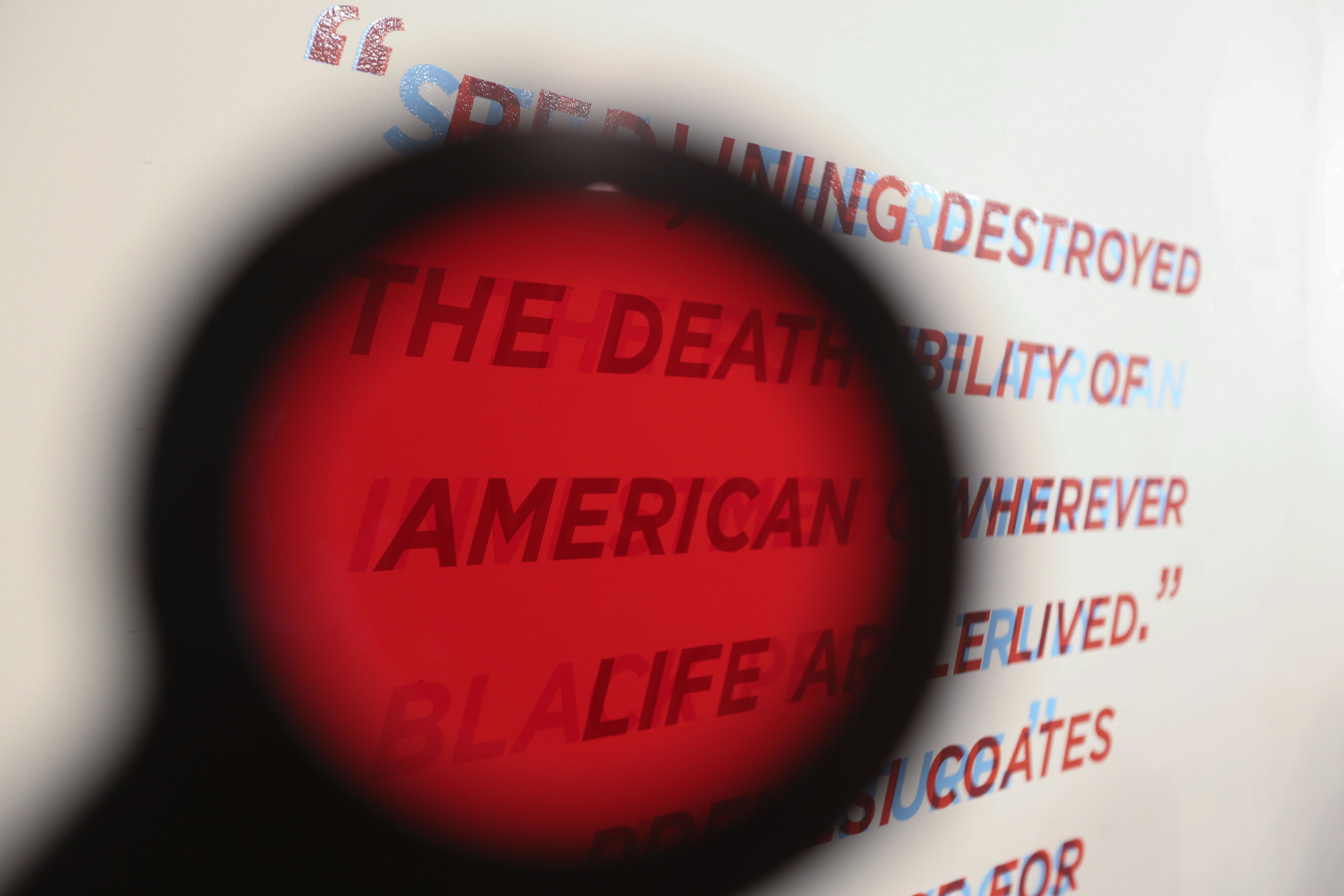


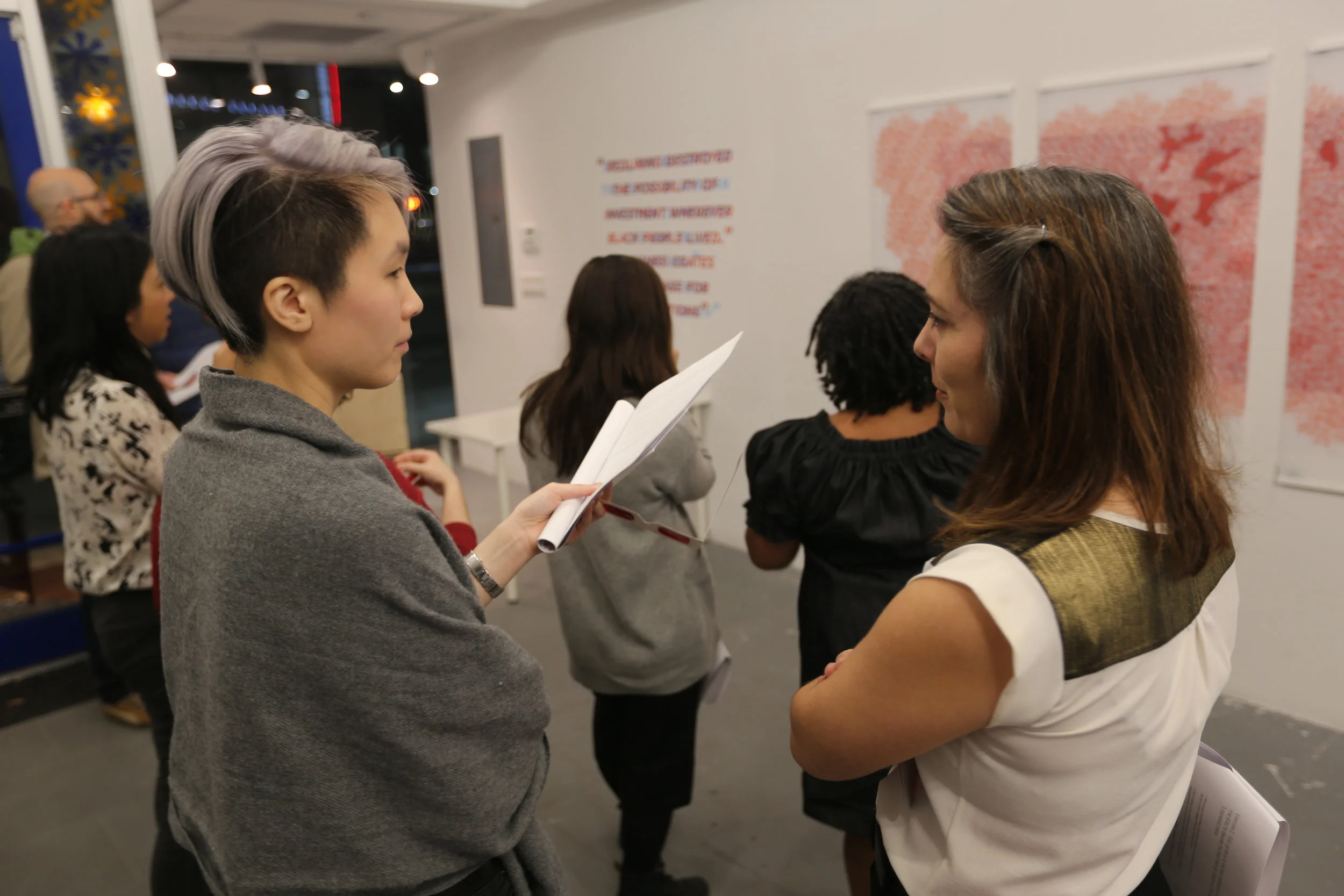
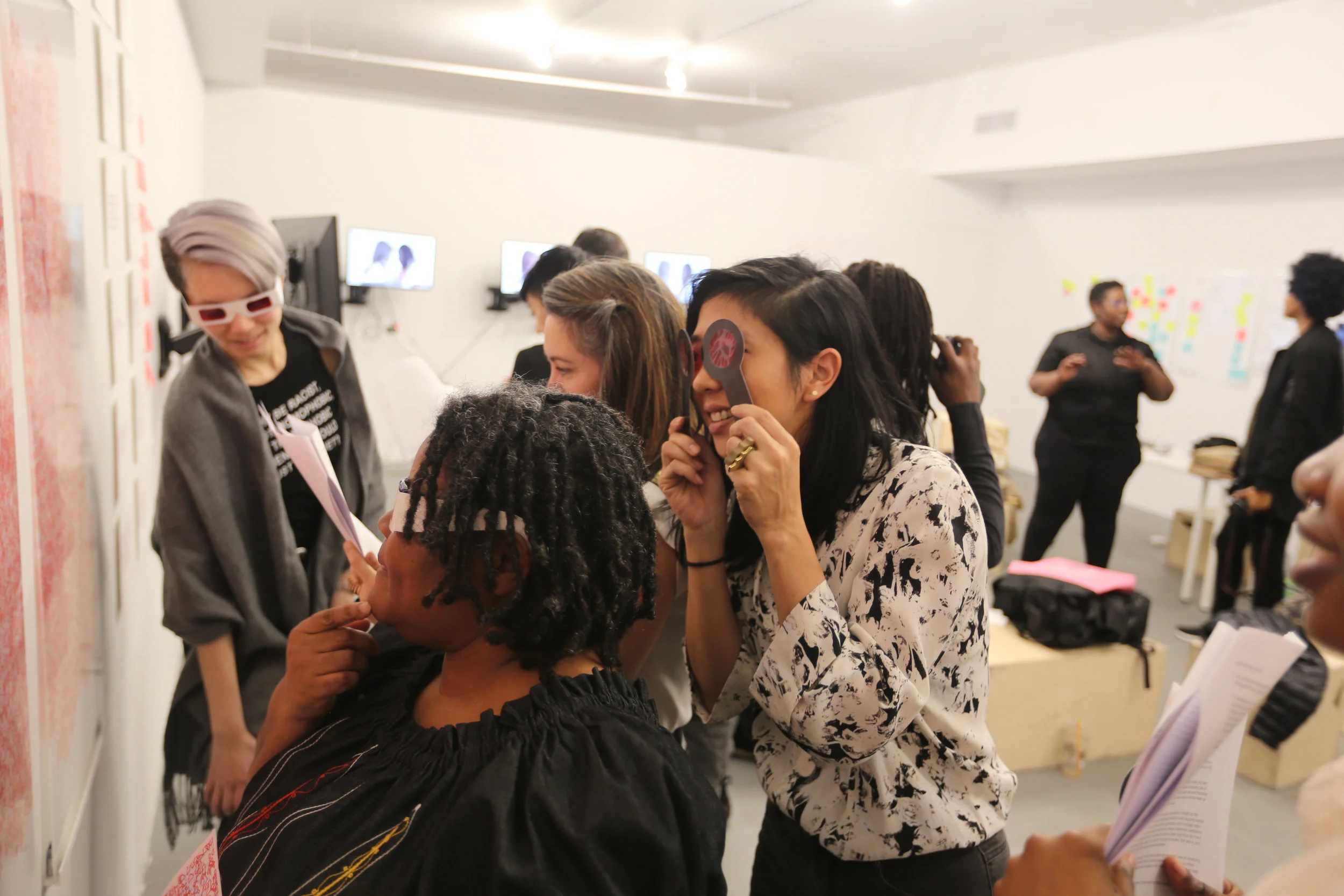

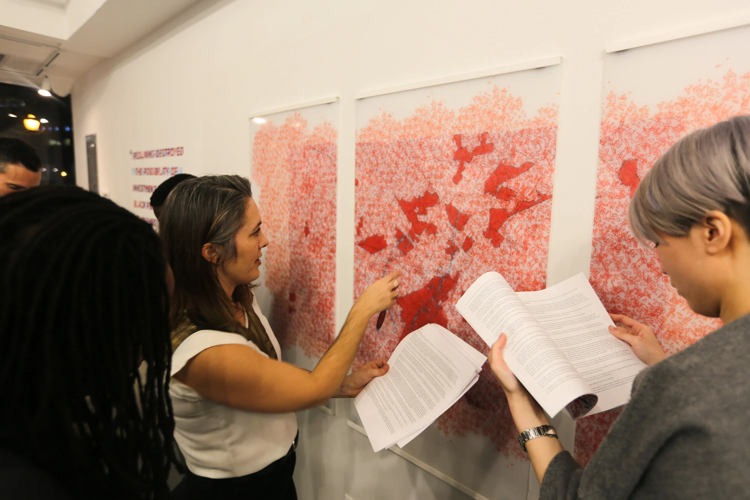
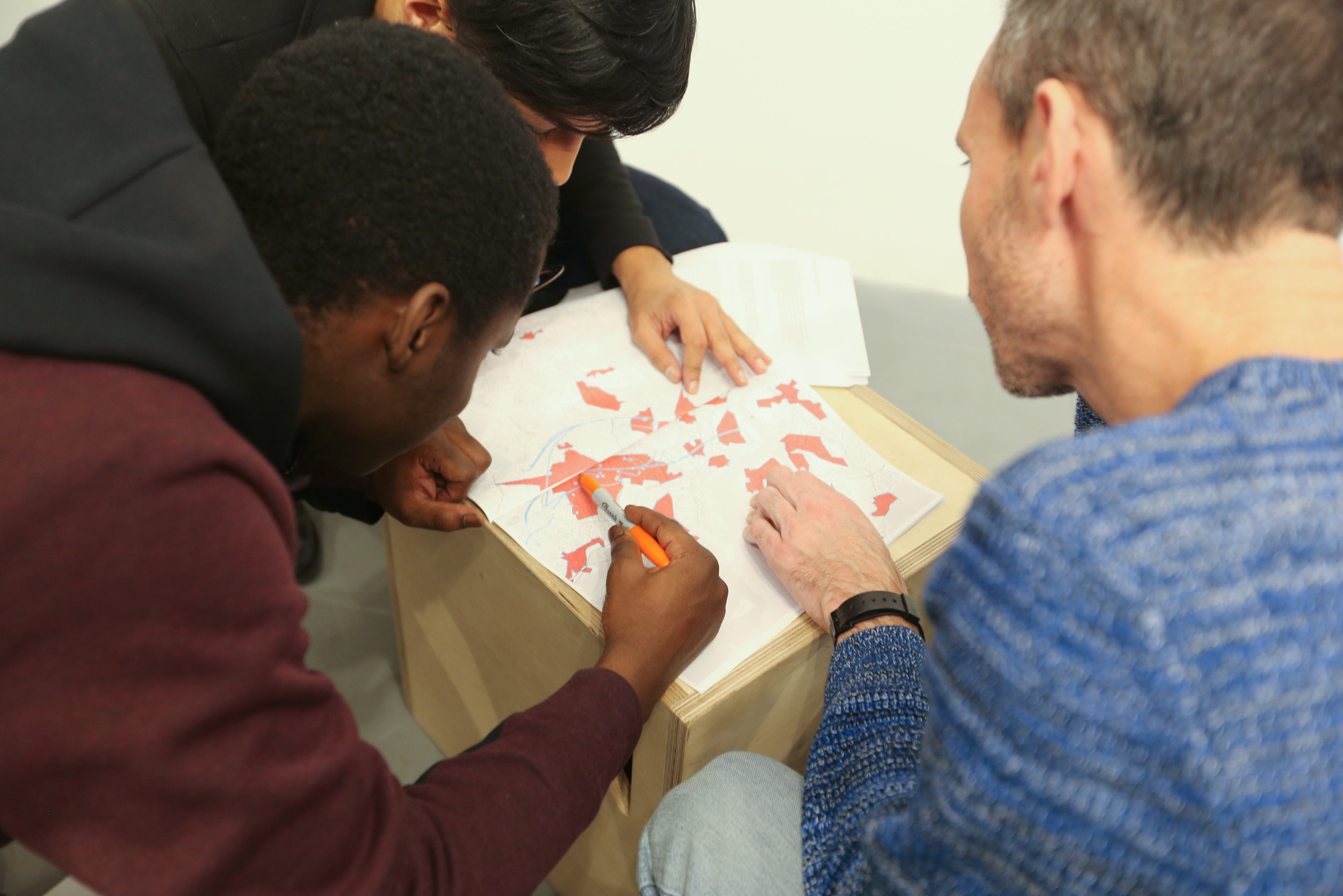


stereoscopic map print mounted on three acrylic panels, historic redlining map data, Combahee River Collective archives, wall text, booklet, red film viewfinders and glasses (2017)
Decoding Possibilities explores the dynamics between Black Feminist geographies and racialized space. I am interested in how particular methods of rendering and conceptualizing racialized space obscures the messy entanglements of power, encounter, domination, and improvisation that constitutes what geographer Katherine McKittrick calls, "a black sense of place." This experimental project meditates on redlining, as a popular narrative of post WWII economic segregation and a conceptual framework that is often engaged to explain contemporary patterns of poverty and racial segregation. This question considers black queer, trans, and feminist geographies alongside the 1935 HOLC maps to create a space of speculation on the contemporary impact of red-lining. "Decoding Possibilities," present maps that disrupt the racist view of the HOLC map and consider how black people created networks and infrastructure that both took advantage of the ways that red-lining enshrined economic and social devaluation of black neighborhoods. "Decoding Possibilties," also brings people off the page asking them to use our Racialized Space Reduction Lens (RSRL) to see beneath the map and spatialize their own memories, knowledge, experiences of these urban geographies.
In collaboration with Treva Ellison.